Restoration Documentation Services in Tulsa

Tulsa’s trusted partner for storm, flood, and tornado restoration documentation.
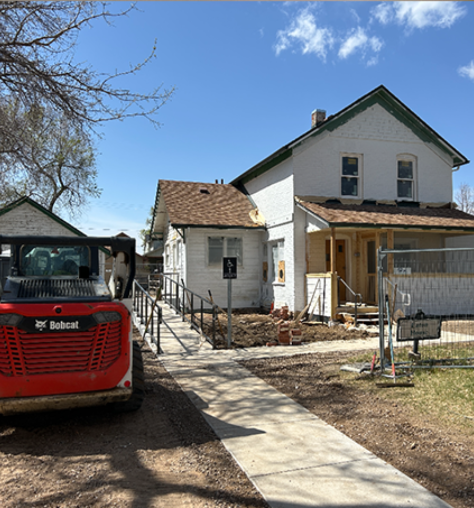
Document tornado, storm, and flood impacts across Tulsa properties
Support restoration for both historic and modern developments
Deliver FEMA- and insurer-ready documentation for smooth approvals
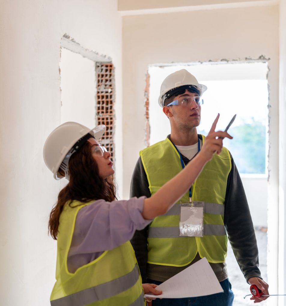
Provide fast pre- and post-restoration scans for contractors
Protect Tulsa property owners with accurate, dispute-free evidence
iPhone mockup
Our Trusted Partnerships
How Documentation Protects Owners Long-Term

Building a Record That Lasts

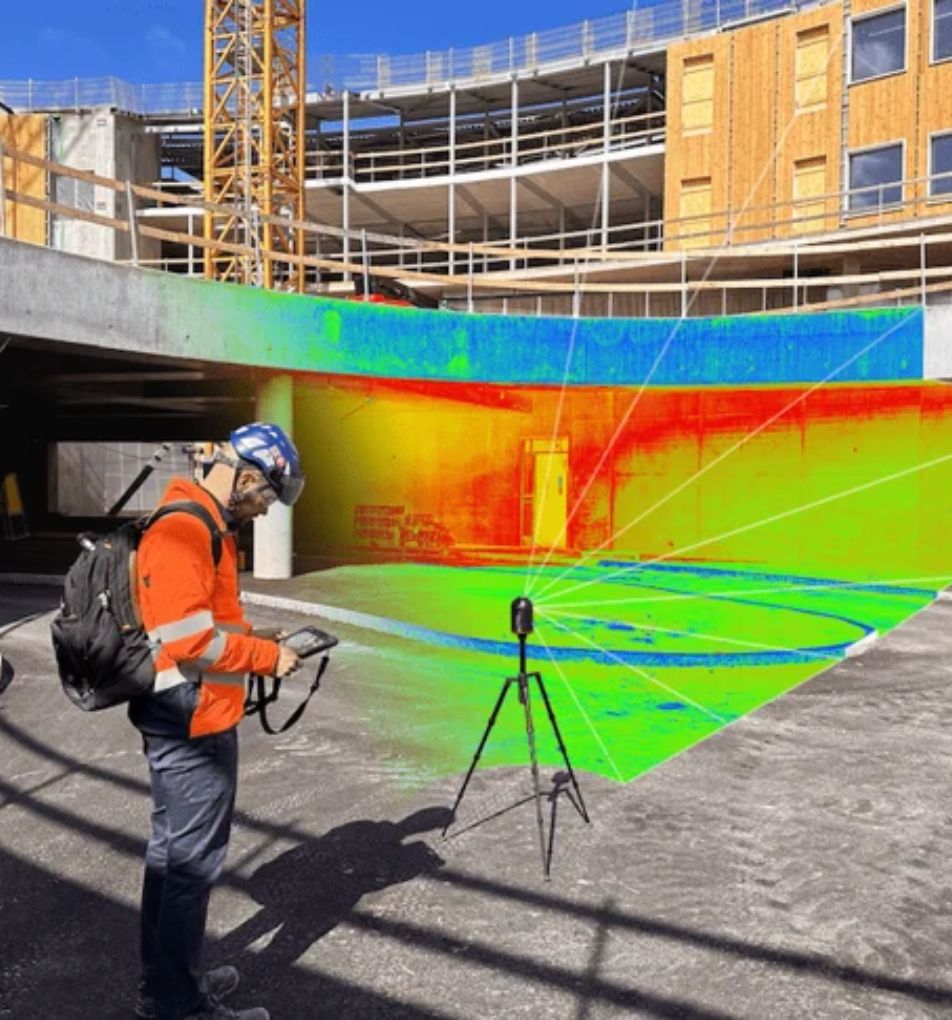
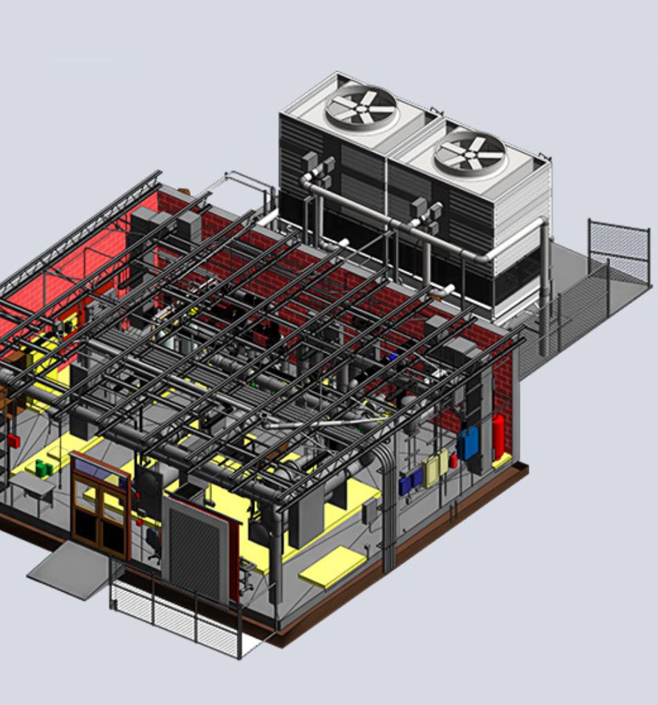
Restoration documentation isn’t just valuable during the immediate recovery — it provides a permanent record that safeguards property value for years to come. Our team uses LiDAR scans, thermal imaging, and calibrated photography to capture structural details, safety concerns, and damage conditions exactly as they exist. We then convert this data into annotated CAD drawings, BIM files, and point clouds that serve as a defensible archive for owners, insurers, and future contractors. These records not only accelerate insurance claims and code compliance today but also act as a reference for future renovations, upgrades, or property sales. By maintaining a verified archive of your property’s history, we help you reduce risk, protect investment value, and ensure that recovery decisions made today continue to benefit you long into the future.
Dashboard mockup
Dashboard mockup

Why Accurate Fire Damage Documentation Changes Everything

From precision data capture to reduced project risk, our services provide measurable advantages on every Tulsa project. Below are a few of the ways we add value.
Art Deco Preservation
Digitally preserve Tulsa’s renowned art deco architecture.
Industry Diversification
Our data supports manufacturing, finance, and health sectors alike.
County-Spanning Service
We coordinate scanning across Tulsa and neighboring counties.
Metro Preparation
Equip planners in a metro area of over one million people.
Cultural Sensitivity
Respect the city’s cultural and arts heritage during documentation.

The Critical Starting Point for Safe Post-Fire Recovery

Tulsa restoration projects start with trustworthy fire documentation. We capture verified damage data that establishes scope, safety notes, and compliance requirements. This evidence speeds up insurance claims, prevents disputes, and ensures recovery activities remain on budget and code-compliant.
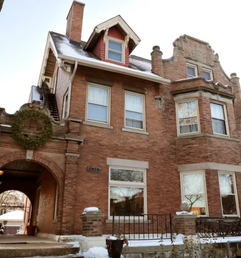
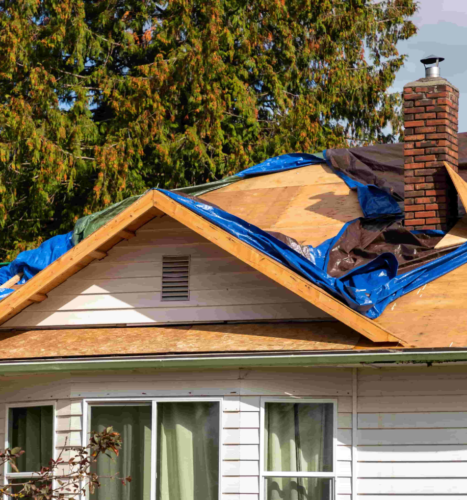
How Our Fire Damage Documentation Powers Confident Decisions

Tulsa faces frequent tornado and flood events, making accurate restoration documentation vital. Using LiDAR and thermal scans, we record storm damage and structural risks across historic districts and new developments. Our deliverables include annotated CAD sets, BIM models, and clear evidence packages. This allows insurers to process claims faster, contractors to bid accurately, and property owners to protect long-term value.

Industries We Serve

Leveraging advanced 3D LiDAR and scanning, we empower every sector to operate with precision and confidence.

Construction

Empowering construction teams with accurate as‑builts and BIM data, reducing rework, costs, and schedule overruns.

Architechture

Bringing visionary designs alive through precise 3D scans that accelerate concept validation and stakeholder alignment.

Facilities Management

Delivering detailed spatial insights for proactive maintenance, and optimized space utilization across facilities.

Engineering

Supplying precise point clouds and CAD data, enabling engineers to analyze, simulate, and innovate confidently.

Commercial Real Estate

Delivering immersive virtual tours that accelerate informed decisions for commercial property transactions.

Entertainment

Creating digital twins for location scouting, set design, and interactive experiences that enthrall audiences worldwide.

What Do We Do?

At Data Capture Services, we specialize in delivering high-quality, precise data solutions tailored to your project's needs. Our state-of-the-art technology and expert team ensure you receive the best possible results for your industry.

As-built

As-Built Documentation

We provide detailed and accurate as-built drawings that reflect the exact state of your project, making modifications and future planning seamless.

Building Information Modeling

Scan to BIM

Our advanced laser scanning technology converts existing conditions into precise BIM models, perfect for facility management and clash detection.

Scan to BIM

3D Scanning

Using cutting-edge 3D scanning equipment, we capture intricate details of existing structures, ensuring no aspect is overlooked.

floor plan

Floor Plans

We deliver precise floor plans that ensure high standards of quality and accuracy for any project.

A professional surveying a building

Building Surveys

Our comprehensive as-built surveys verify project compliance and create an accurate record of completed work, essential for future reference.

virtual tour

Virtual Tours

Experience immersive virtual tours that provide a detailed and interactive view of your space, enhancing planning and presentation capabilities.

Specialized Services

From emergency restoration to architectural planning

a professional documenting a site of a collapsed building

Emergency Restoration Documentation

Swift, precise 3D scans for damage assessment, expediting insurance claims and restoration planning.

as-built

Architectural & Construction Scanning (AEC)

Accurate as-built models and BIM-ready data for informed design, construction, and renovation decisions.

a man managing inventory

Inventory Management

Comprehensive digital cataloging of assets and documents for efficient facility management.

a trainee experiencing virtual tour

Industrial Training & Safety Simulations

Immersive virtual environments for enhanced safety training and operational efficiency.

virtual tour

Property Documentation

Detailed 3D capture of historical structures, creating precise digital archives for conservation.

as-built

As-Built Documentation & Verification

Exact 3D representations of existing structures, ensuring accuracy for renovations and management.

Our Speciality

Harnessing cutting-edge 3D scanning and LiDAR technology, we specialize in delivering diverse dataset plans tailored to our clients' needs. Partnering with a wide range of businesses and organizations, we provide precise existing condition drawings essential for achieving project objectives.

floor plan

Experience the Power of Virtual Tours

Immerse yourself in one of our recent projects. Our virtual tours provide stakeholders with an interactive, true-to-life representation of spaces, enhancing decision-making and planning processes across industries.

What We Do?

Harnessing cutting-edge 3D scanning and LiDAR technology, we specialize in delivering diverse dataset plans tailored to our clients' needs. Partnering with a wide range of businesses and organizations, we provide precise existing condition drawings essential for achieving project objectives.

Cutting-Edge Technology at Your Service

We utilize the latest in 3D scanning and LiDAR technology to ensure unparalleled accuracy and efficiency in our data capture services. Our state-of-the-art equipment includes:

iguide

iGUIDE

Delivering accurate floor plans and property measurements

matterport pro3

Matterport Pro 3

For immersive 3D walkthroughs

leica blk360

Leica BLK 360

Providing high-precision point cloud data

Leica RTC 360

Captures environments in 3D with  speed and accuracy

Why Choose Data Capture Service?

Cutting-edge Technology

State-of-the-art equipment for unparalleled precision

Certified Excellence

IICRC certified, ensuring industry-standard quality

Customized Solutions

Tailored approaches to meet your unique project needs

Industries We Serve

construction site

Architecture, Engineering, and Construction (AEC)

Precise 3D scans for accurate as-builts, BIM modeling, and CAD files to enhance decision-making.

room damaged by flood water

Emergency Services and Disaster Recovery

Swift, detailed damage assessment and documentation to expedite insurance claims and streamline restoration efforts.

government building

Education and Government

Comprehensive facility mapping for space optimization, safety planning, and virtual training simulations.

factory

Manufacturing and Industrial

Detailed plant layouts, equipment modeling, and immersive safety training environments for efficiency.

What Our Clients Say

Discover how our precise data capture services have transformed projects and exceeded expectations through our satisfied clients' successes.

"I can't say enough about how Data Capture Services has impacted our business. As the owner of Real Property Management Midtown Services is everything, and by them handling our professional photographs for our listing and our semi-annual property evaluations it's been nothing short of a Win Win.  They've truly helped us be more efficient and effective by utilizing their services, which ultimately has impacted our bottom line.  I highly recommend their services!!!"
william harris profile

William Harris

Property Manager

Excellent work product and professionalism. Working with Data Capture Service team has been very helpful in growing our business. Their team always stay on top of any work we give them! 100% recommend

Nitish Khullar

Property Manager

"Very fast , came same day and did a very great job , I will use him again. He always give good deals on price that meets your budget."

Setonji Ofade

Property Manager

"The whole team is great! Them having knowledge of the water mitigation industry really is a huge plus! I would definitely recommend them to anyone that is in need of a 3D scan! Competitive pricing, fast turn around on all scans and a great detailed sketch of the scan."

Erik Ballester

Property Manager

"Thank you for always providing a quick turn around, and great customer service.  Highly recommend you guys. Not only do you always answer calls, but your services have yielded us great results for our clients by using accurate measurements on losses."

Restoration Services

Restoration

"It has been great experience working with Data Capture Service. Very professional, diligent team we have used with our business services. Highly recommended."

Real Property Management

Real Estate

"Ramon was awesome and very professional. Would recommend."

Jaime Hodges

Realtor

"Amazing service and perfect quality!! Will definitely use again!"

Nick Lokken

Customer

"Great services! Very friendly! Do recommend, the pics are A1 😎 …"

K Los

Realtor

"Great service very professional"

Kylie Chettayar

Realtor

Our Work in Action

Captured moments of our team at work, demonstrating expertise.

a floor plan
3D scanned house
2D drawing
3D building model
2d building drawing
BIM model
Support

Frequently asked questions

Do you provide tornado-related documentation in Tulsa?
Yes. We specialize in documenting tornado and storm damage across Tulsa neighborhoods.
Do you also support Tulsa’s historic properties?
Yes. Our non-invasive documentation is safe for historic buildings and districts in Tulsa.
Are your reports accepted by Tulsa insurers and FEMA?
Yes. Our reports meet FEMA and insurer standards for claim processing.
How fast can you deliver restoration documentation in Tulsa?
Most Tulsa projects are completed within 48–72 hours, with rush service available.
Do you provide ongoing updates for Tulsa restoration projects?
Yes. We offer progress scans to keep contractors and insurers updated throughout restoration.
Avatar photoAvatar photoAvatar photo
Can’t find the answer you’re looking for? Please chat to our friendly team.

Prefer to Speak Directly?

Experience precision in every project.

all services of data capture service