
ASTM E1155-Compliant Flatness & Levelness Reports You Can Trust


Digitally Analyze Your Concrete Floors with FF / FL Verification
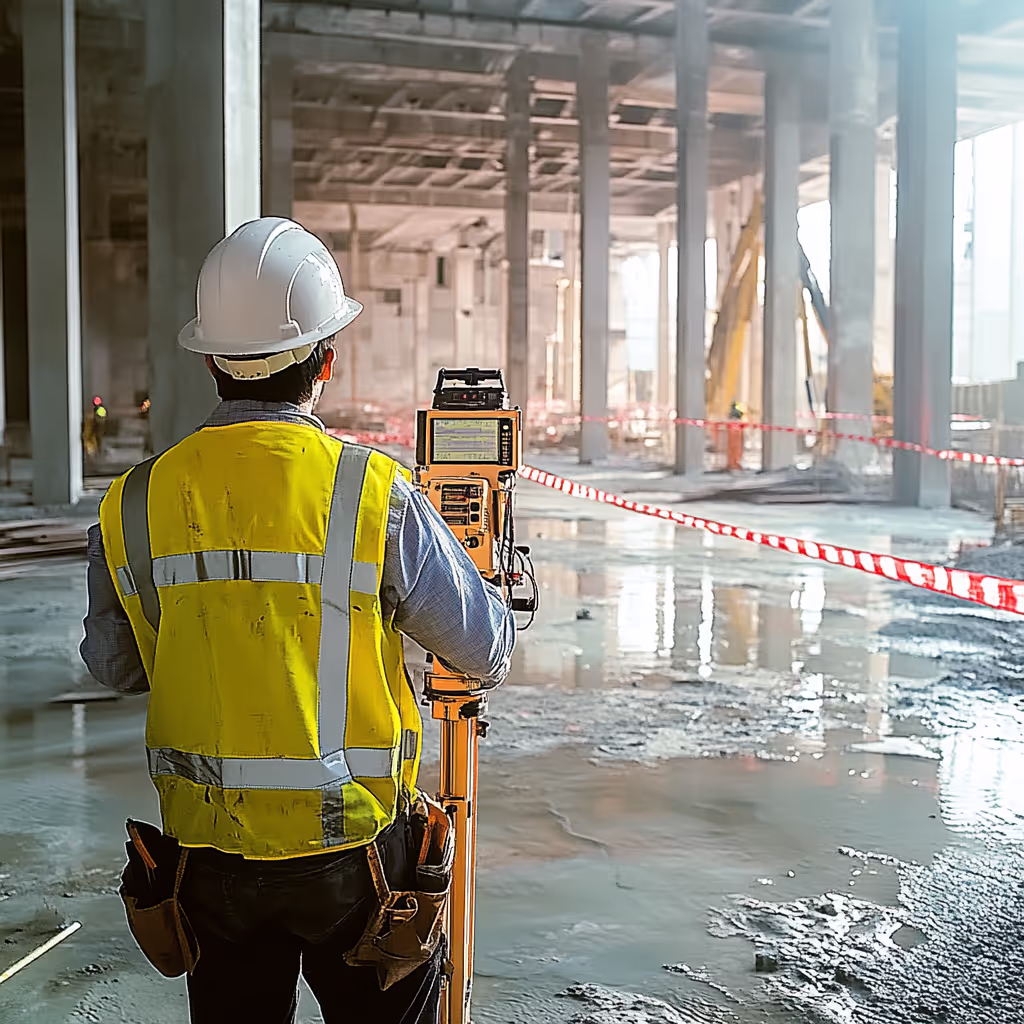
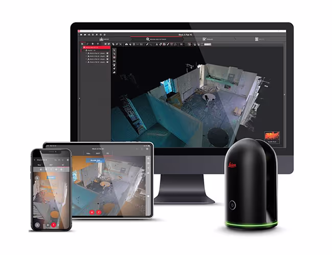
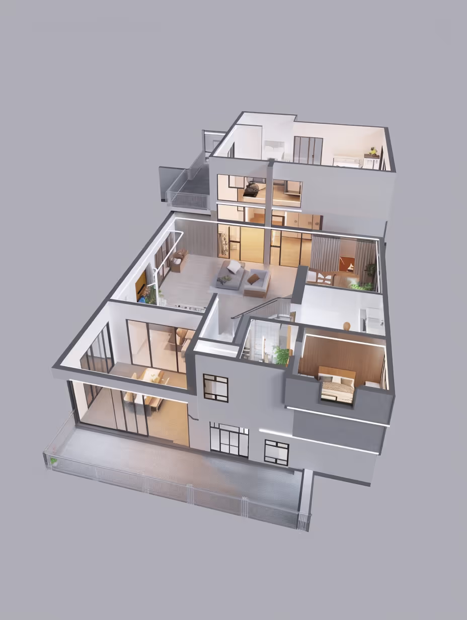
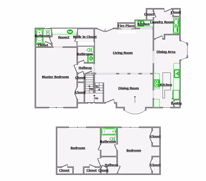
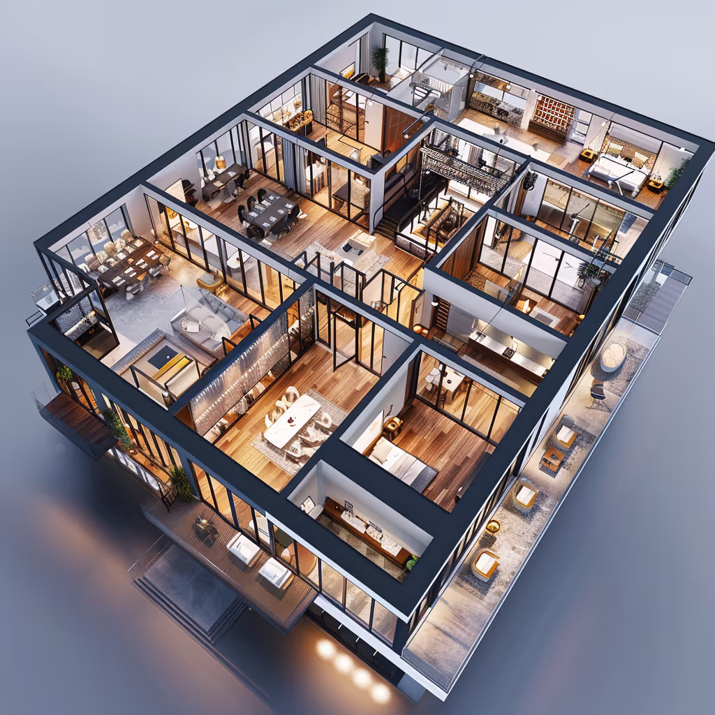
Gain a clear, visual understanding of your concrete slab performance through a detailed digital walkthrough powered by 3D LiDAR scanning. Our FF / FL verification process captures dense elevation data across the entire pour, allowing you to visually inspect flatness, levelness, and tolerance compliance without guesswork. This interactive view helps contractors, engineers, and owners quickly identify surface variations, confirm ASTM E1155 compliance, and review results with confidence. Instead of relying solely on numbers, teams can see exactly how the slab performs — making discussions, approvals, and corrective decisions faster and more transparent.
How Our FF / FL Verification Powers Confident Decisions


Why Accurate FF / FL Verification Changes Everything
Industry-Leading, IICRC Certified

When and Where FF / FL Concrete Floor Testing Is Required
FF / FL concrete floor testing is typically performed after concrete placement and before final acceptance to verify compliance with project specifications and ASTM E1155 / E1155M standards. This verification is especially critical for warehouses, distribution centers, manufacturing facilities, and industrial floors where flatness and levelness directly affect forklift operation, high-rack storage, robotics, and long-term floor performance. Contractors and owners rely on FF / FL testing to support payment approvals, identify out-of-tolerance areas early, guide corrective actions, and provide defensible documentation for closeout, warranty, or dispute resolution. By using high-density 3D LiDAR scanning instead of limited manual measurements, a complete and accurate evaluation of slab performance is achieved across the entire floor surface.

How Our FF / FL Verification Powers Confident Decisions
Our field specialists use high-density 3D LiDAR scanning to capture precise elevation data across newly poured concrete floors. By collecting millions of measurement points at consistent intervals, we eliminate the limitations and variability of manual straightedge testing. Back in the studio, this data is processed using specialized FF / FL analysis software to automatically extract elevation points, calculate differential measurements, and generate statistically valid Floor Flatness (FF) and Floor Levelness (FL) values in strict accordance with ASTM E1155 / E1155M standards. The result is a clear, defensible report that contractors can use to verify workmanship, owners can rely on for acceptance decisions, and engineers can reference for compliance — all from a single, trusted source of truth that reduces disputes, rework, and delays.
Industries We Serve
Construction
Architechture
Facilities Management
Engineering
Commercial Real Estate
Entertainment
Our Process


What Do We Do?
At Data Capture Services, we specialize in delivering high-quality, precise data solutions tailored to your project's needs. Our state-of-the-art technology and expert team ensure you receive the best possible results for your industry.
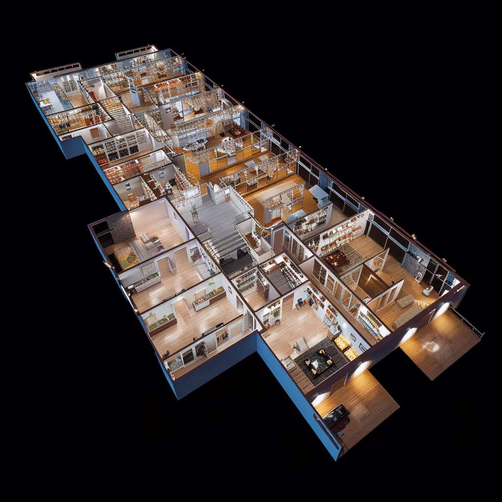
As-Built Documentation
We provide detailed and accurate as-built drawings that reflect the exact state of your project, making modifications and future planning seamless.
.avif)
Scan to BIM
Our advanced laser scanning technology converts existing conditions into precise BIM models, perfect for facility management and clash detection.
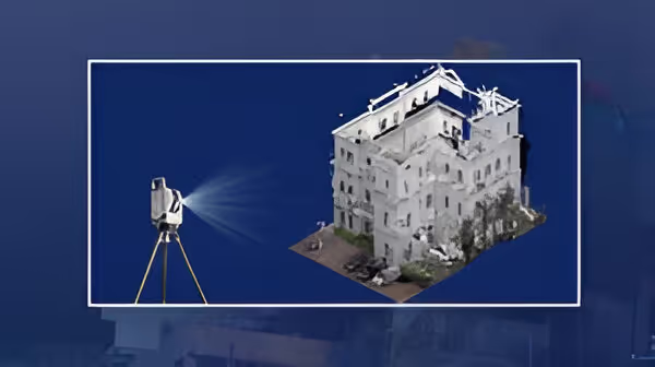
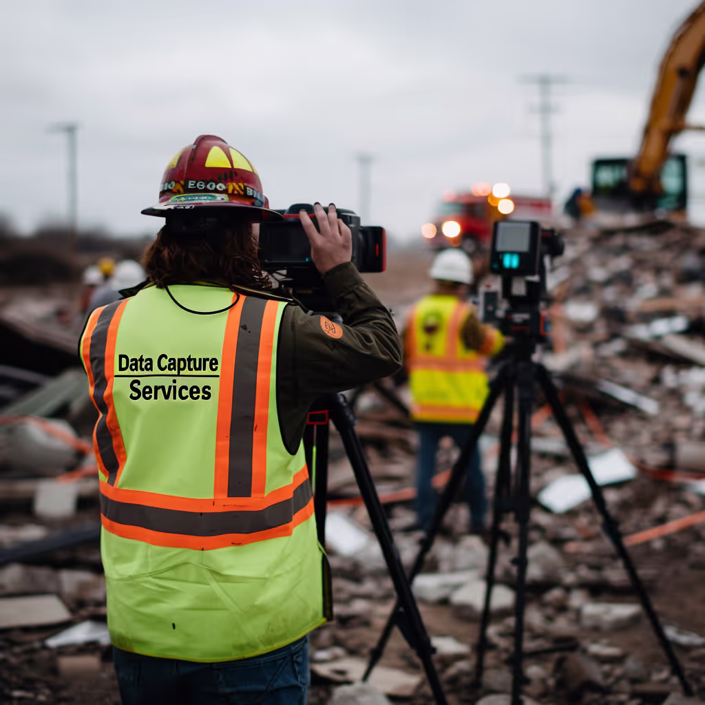
3D Scanning
Using cutting-edge 3D scanning equipment, we capture intricate details of existing structures, ensuring no aspect is overlooked.
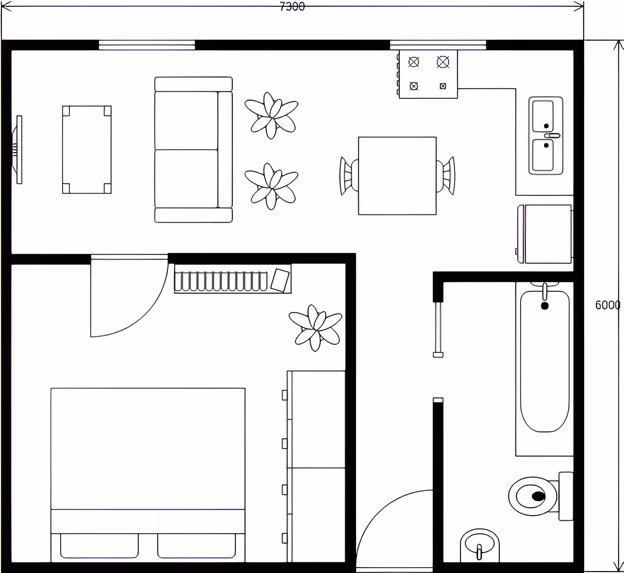
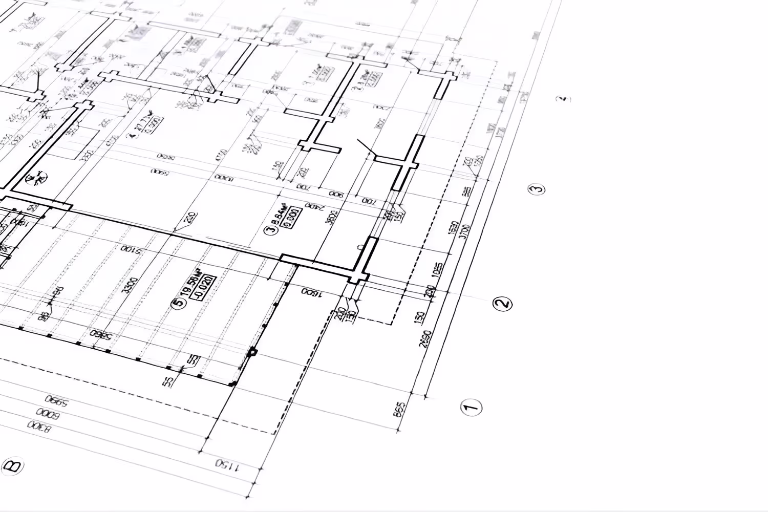
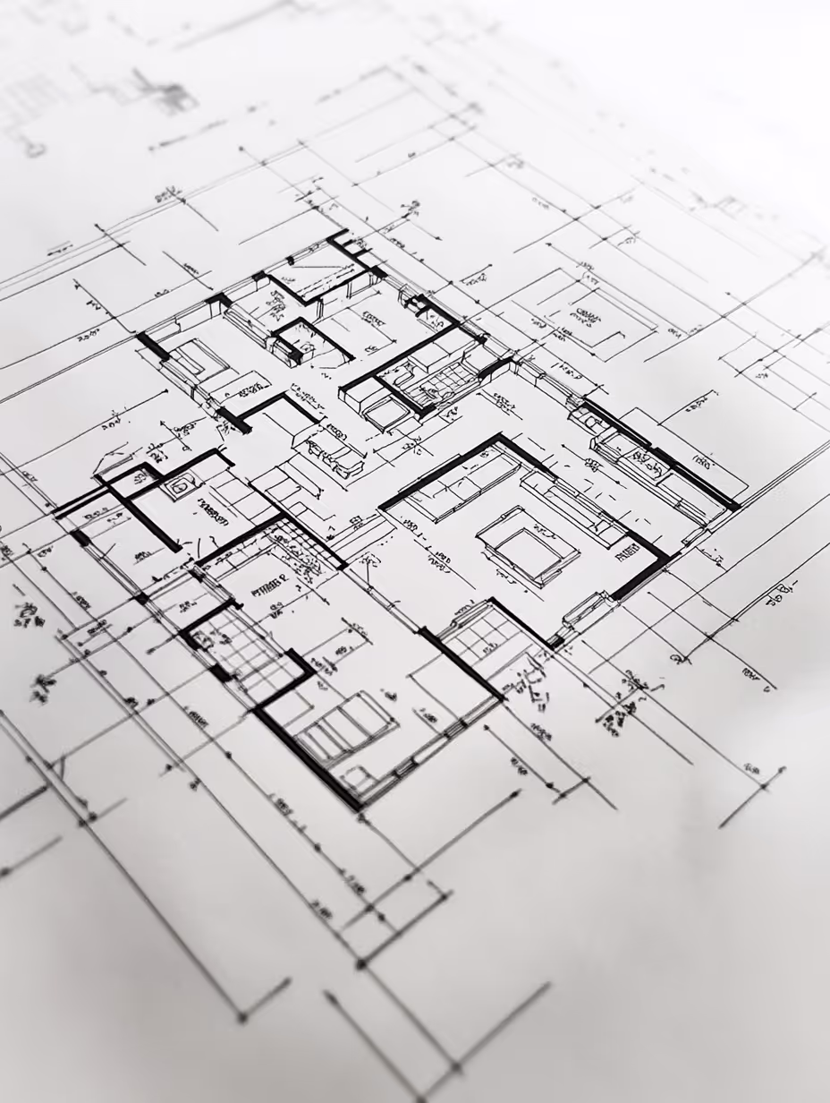
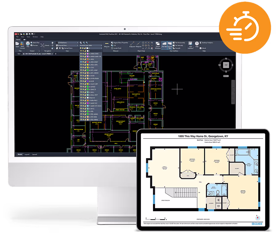
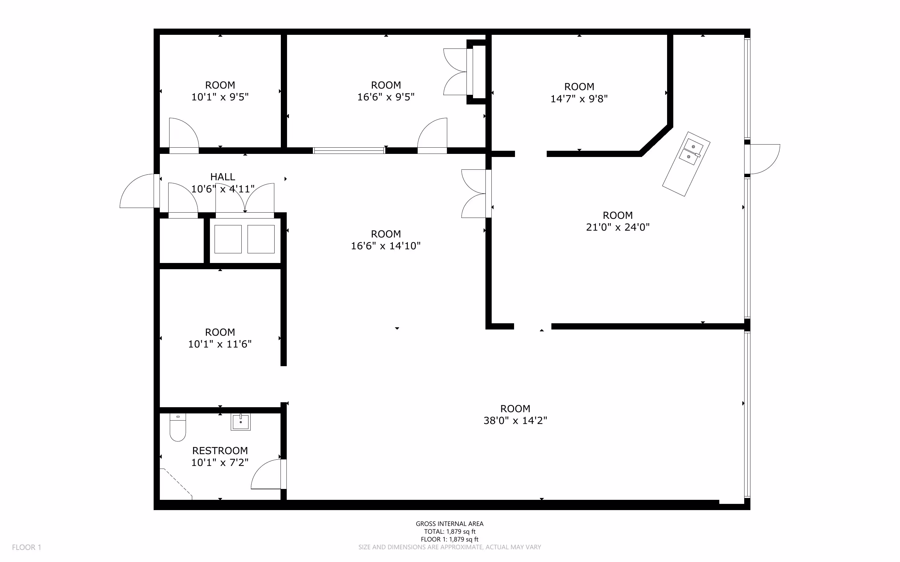
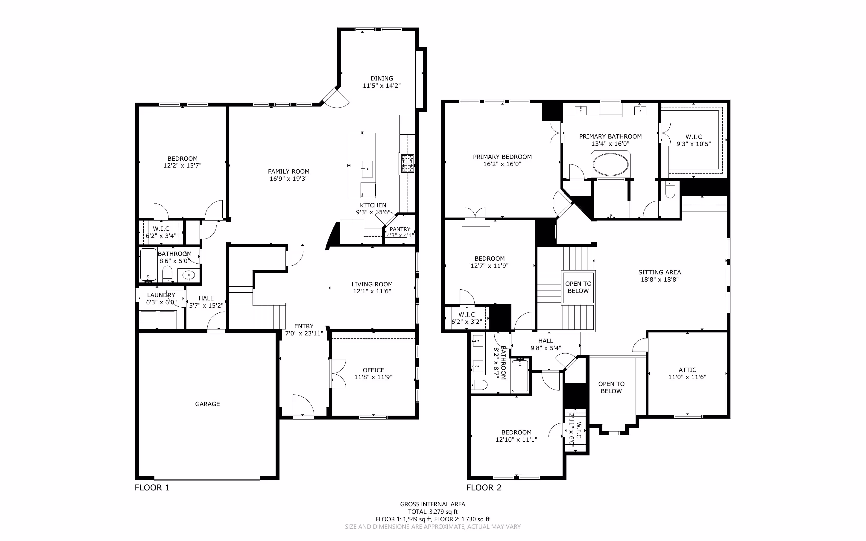
Floor Plans
We deliver precise floor plans that ensure high standards of quality and accuracy for any project.
Building Surveys
Our comprehensive as-built surveys verify project compliance and create an accurate record of completed work, essential for future reference.
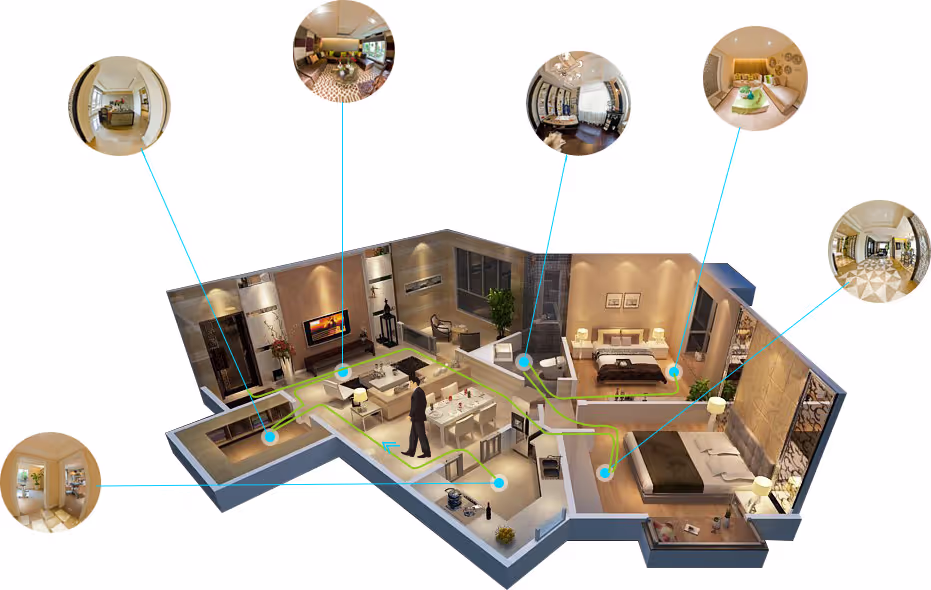
Virtual Tours
Experience immersive virtual tours that provide a detailed and interactive view of your space, enhancing planning and presentation capabilities.
Specialized Services
From emergency restoration to architectural planning
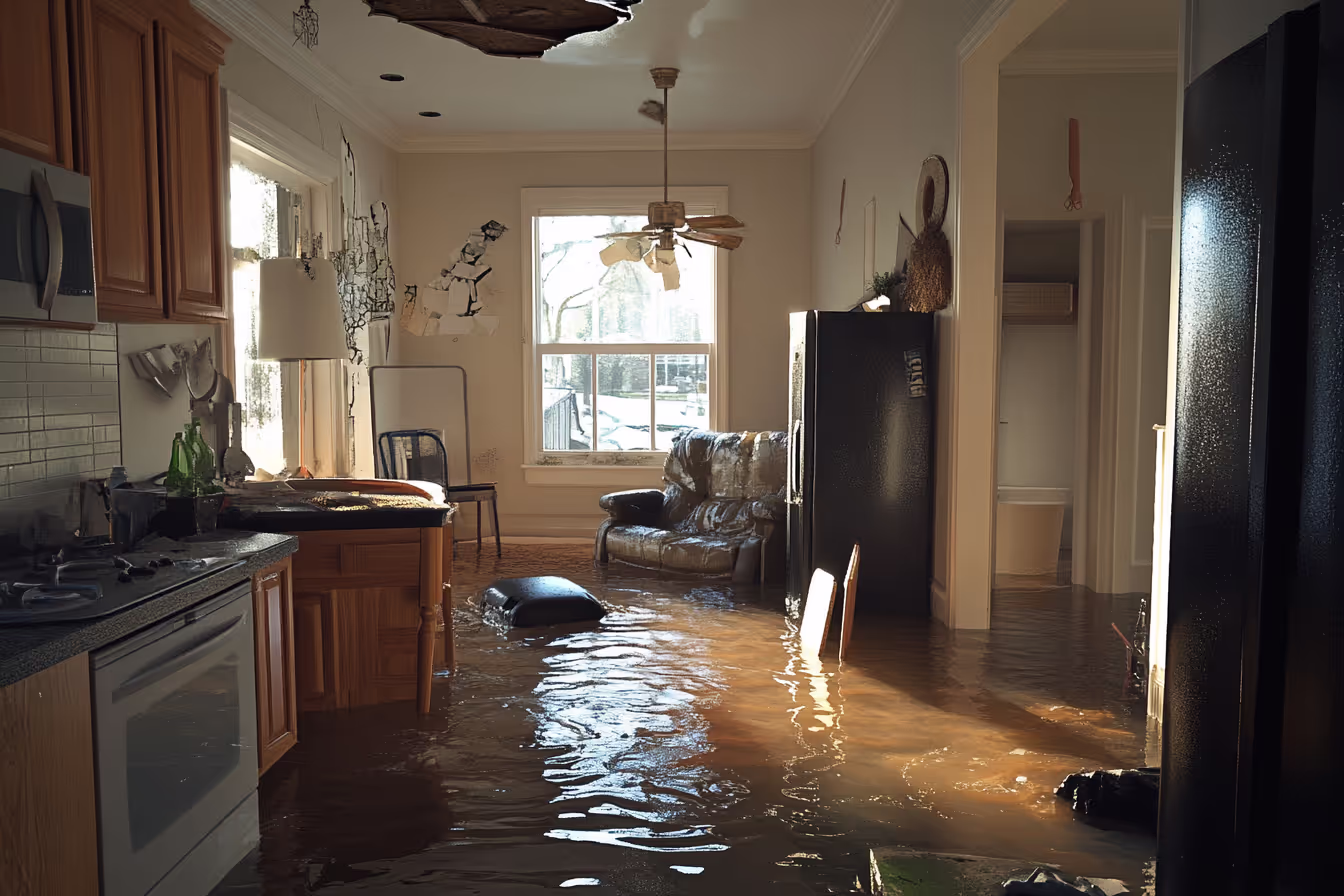
Emergency Restoration Documentation
Swift, precise 3D scans for damage assessment, expediting insurance claims and restoration planning.
Architectural & Construction Scanning (AEC)
Accurate as-built models and BIM-ready data for informed design, construction, and renovation decisions.
.avif)
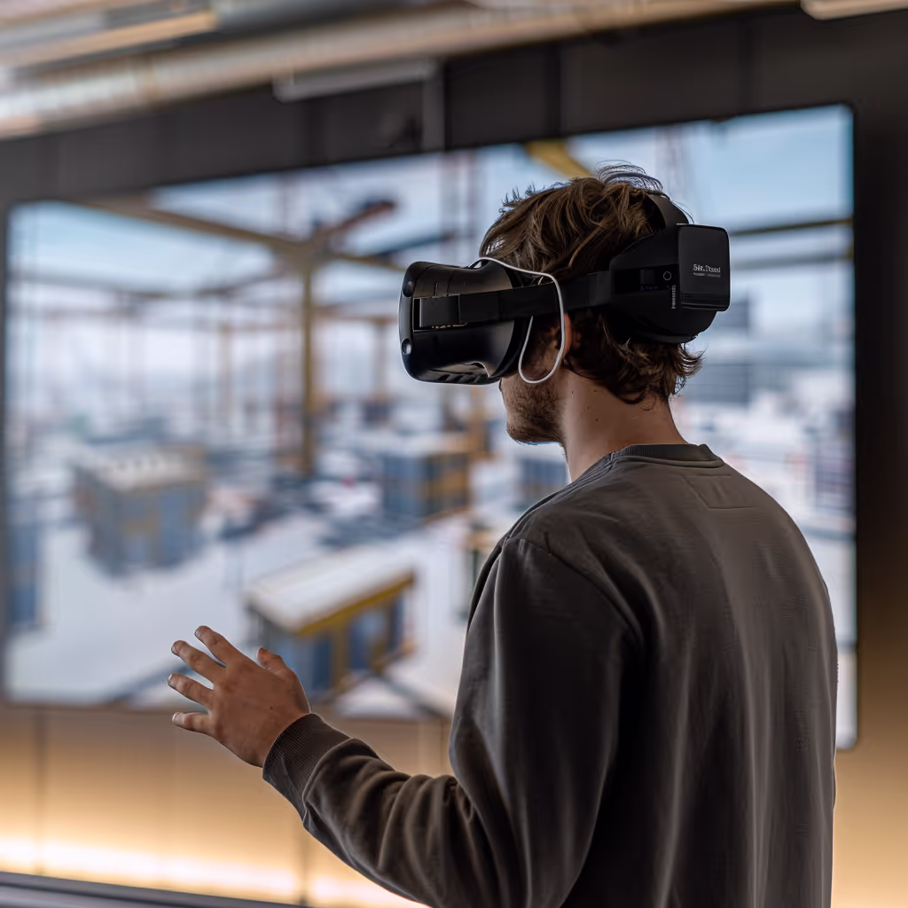
Industrial Training & Safety Simulations
Immersive virtual environments for enhanced safety training and operational efficiency.
Our Speciality
Harnessing cutting-edge 3D scanning and LiDAR technology, we specialize in delivering diverse dataset plans tailored to our clients' needs. Partnering with a wide range of businesses and organizations, we provide precise existing condition drawings essential for achieving project objectives.
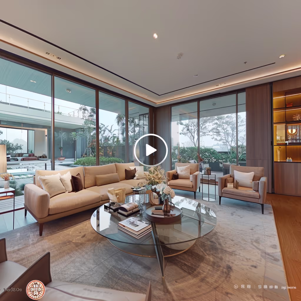
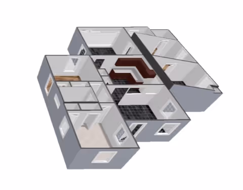
Experience the Power of Virtual Tours
Immerse yourself in one of our recent projects. Our virtual tours provide stakeholders with an interactive, true-to-life representation of spaces, enhancing decision-making and planning processes across industries.
Cutting-Edge Technology at Your Service
We utilize the latest in 3D scanning and LiDAR technology to ensure unparalleled accuracy and efficiency in our data capture services. Our state-of-the-art equipment includes:
iGUIDE
Delivering accurate floor plans and property measurements
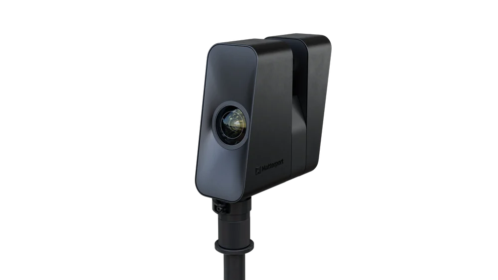
Matterport Pro 3
For immersive 3D walkthroughs
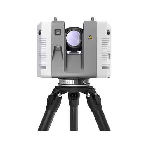
Leica BLK 360
Providing high-precision point cloud data
Leica RTC 360
Captures environments in 3D with speed and accuracy
Why Choose Data Capture Service?
State-of-the-art equipment for unparalleled precision
IICRC certified, ensuring industry-standard quality
Tailored approaches to meet your unique project needs
Industries We Serve
.avif)
Architecture, Engineering, and Construction (AEC)
Precise 3D scans for accurate as-builts, BIM modeling, and CAD files to enhance decision-making.
Emergency Services and Disaster Recovery
Swift, detailed damage assessment and documentation to expedite insurance claims and streamline restoration efforts.
Education and Government
Comprehensive facility mapping for space optimization, safety planning, and virtual training simulations.
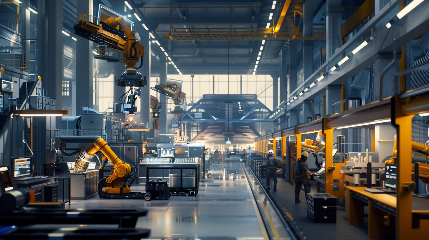
Manufacturing and Industrial
Detailed plant layouts, equipment modeling, and immersive safety training environments for efficiency.
What Our Clients Say
Discover how our precise data capture services have transformed projects and exceeded expectations through our satisfied clients' successes.

William Harris
Property Manager
Our Work in Action
Captured moments of our team at work, demonstrating expertise.
Frequently asked questions
Prefer to Speak Directly?
Experience precision in every project.
