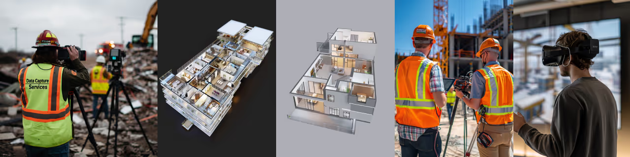
A CRE Partner for Every Stage of the Deal
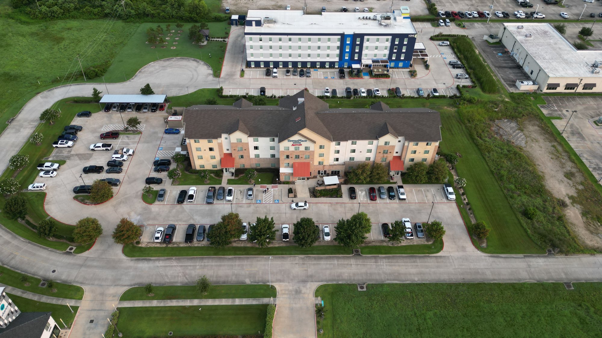
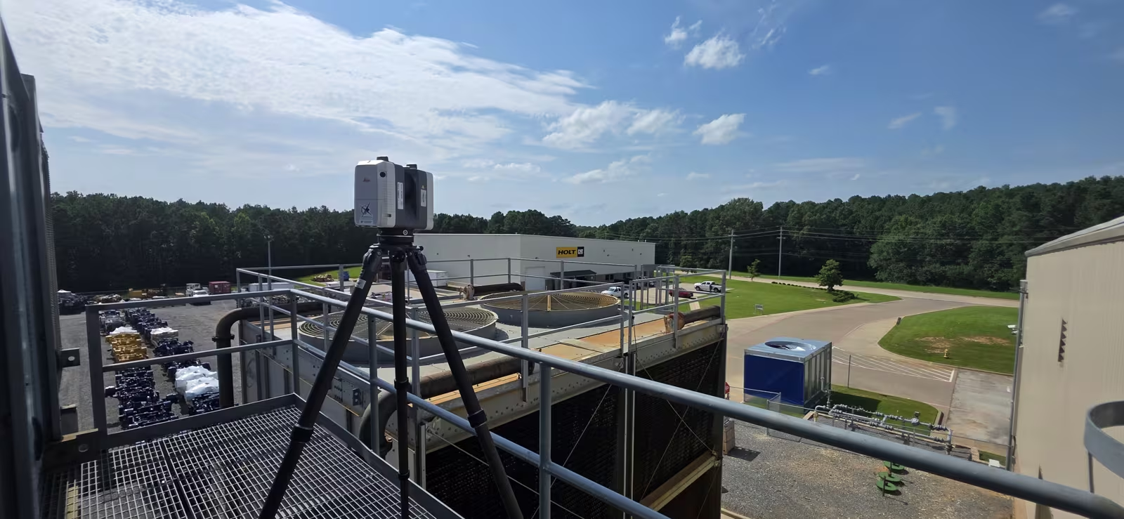
3D Documentation & As-Built Data for Commercial Real Estate Professionals
Every stage of a commercial real estate deal runs on accurate information. Our 3D LiDAR scanning captures a property's true existing conditions — inside and out — and turns them into as-built drawings, BIM models, virtual tours, and photographic documentation your whole team can rely on. One site visit produces a reusable dataset that supports underwriting, design, marketing, and management across the property's lifecycle.





How We Support CRE Professionals
Acquisitions & Due Diligence: Fast, accurate as-built documentation that supports underwriting, valuation, and closing timelines — without repeated site visits.
Marketing: Immersive Matterport virtual tours and high-resolution imagery that let buyers and tenants experience a property before they ever set foot on site.
Fit-Outs & Renovations: As-built floor plans and Scan-to-BIM models (CAD, Revit, BIM) that give design and construction teams a verified starting point.
Facility Condition Assessments: Comprehensive photographic and LiDAR documentation that supports FCA reporting, capital planning, and historical recordkeeping.
As-Built Scanning & Datasets: Registered point clouds, precise measurements, and as-built models your team can trust and reuse across the property's lifecycle.
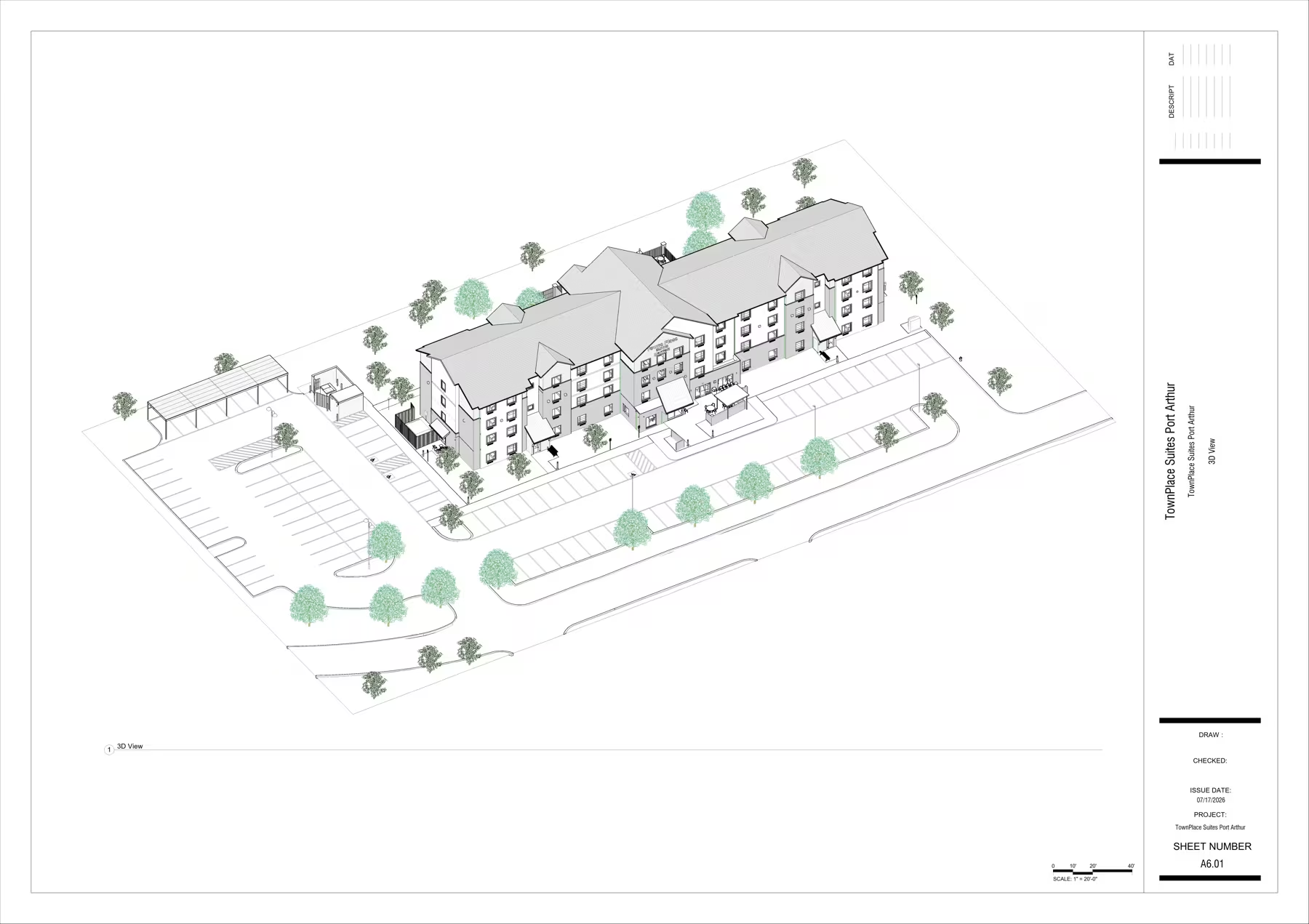
Experience Across Every Asset Class
DCS has captured properties across nearly every asset class CRE professionals work with — hotels for brands including IHG, Marriott, and Hilton; big-box retail including SuperTarget stores; hospitals and healthcare facilities; office and commercial space; and large industrial warehouses supporting acquisition due diligence. Whether your firm is a two-person shop or a national team, we understand the standards, timelines, and stakeholders specific to your asset type — whatever it is.
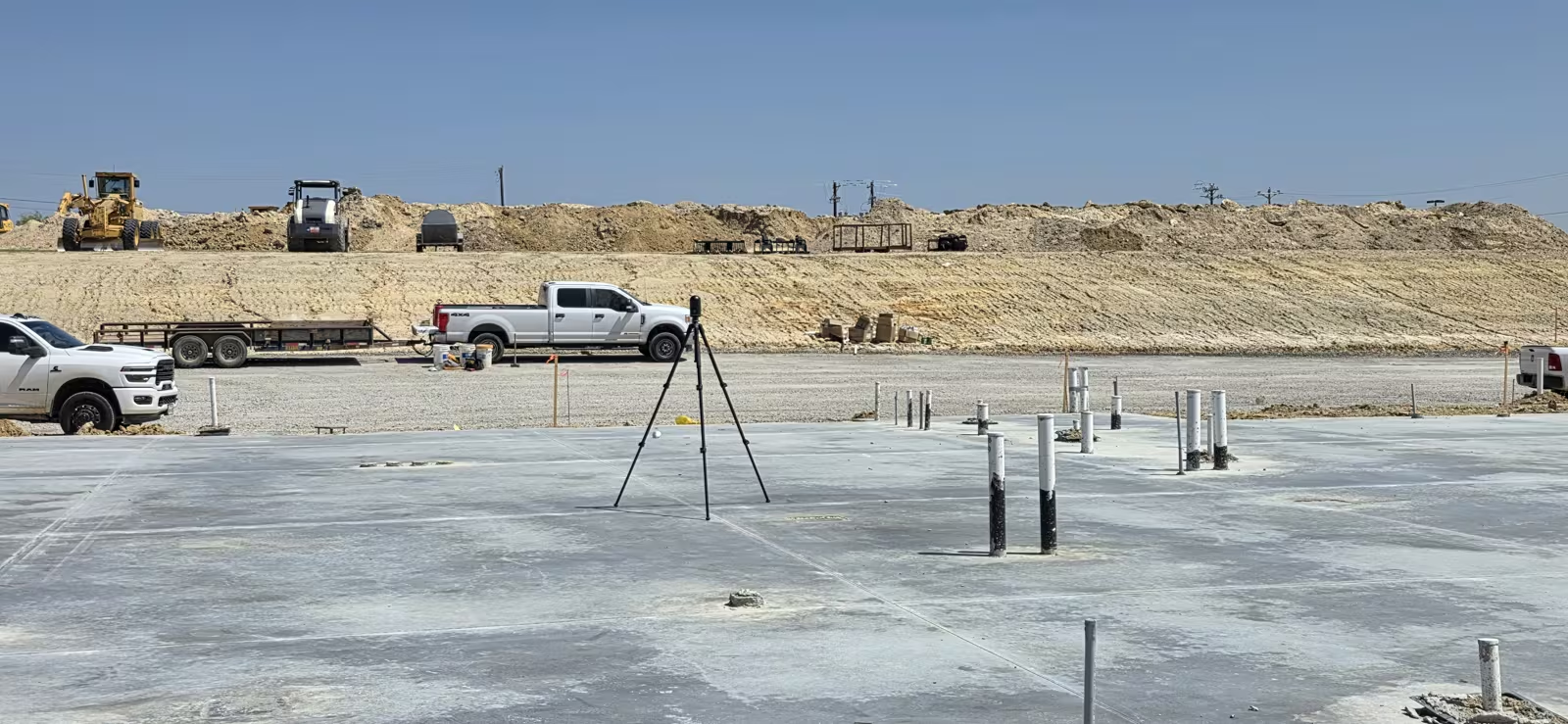
What Do We Do?
At Data Capture Services, we specialize in delivering high-quality, precise data solutions tailored to your project's needs. Our state-of-the-art technology and expert team ensure you receive the best possible results for your industry.
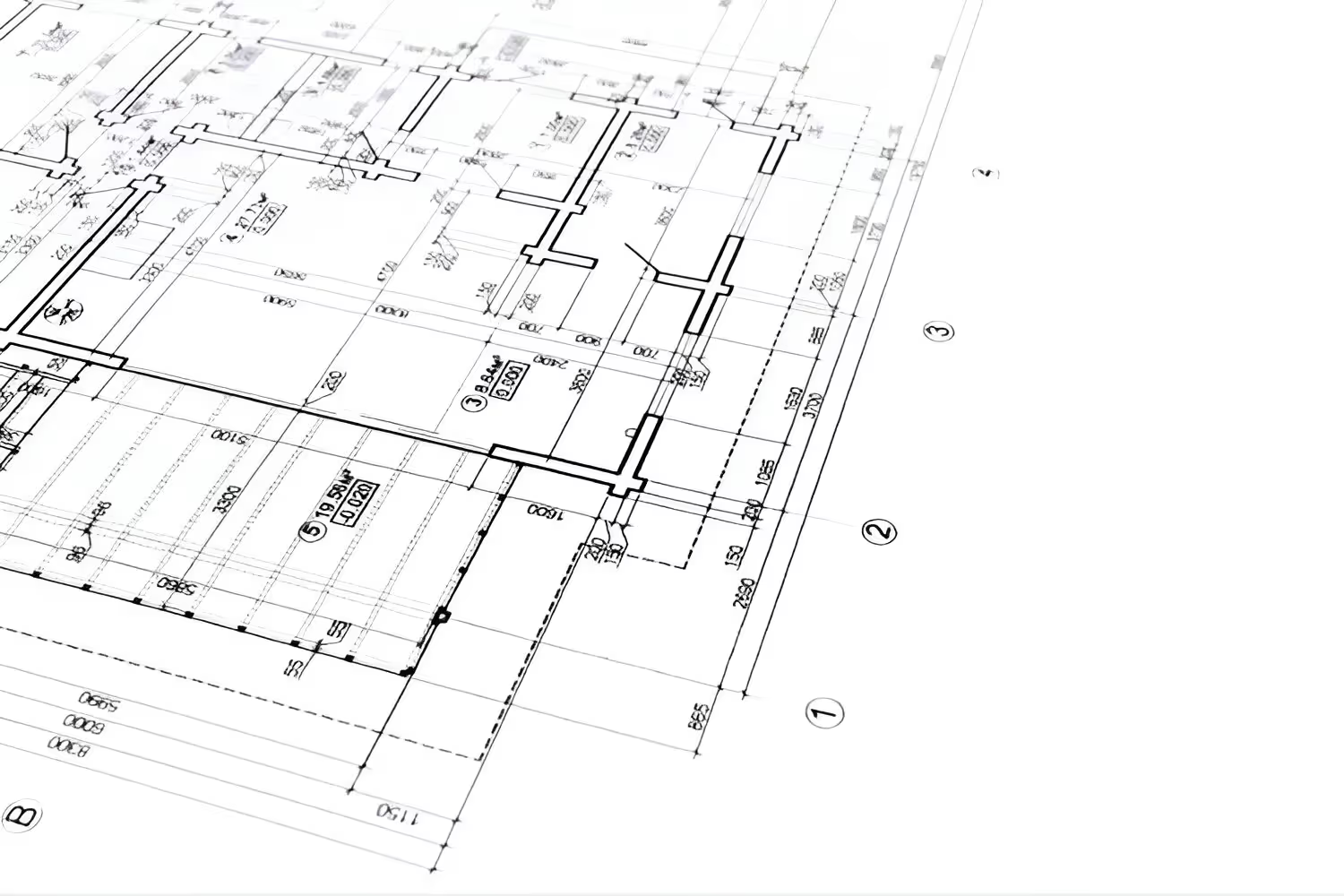
As-Built Documentation
We provide detailed and accurate as-built drawings that reflect the exact state of your project, making modifications and future planning seamless.
.avif)
Scan to BIM
Our advanced laser scanning technology converts existing conditions into precise BIM models, perfect for facility management and clash detection.
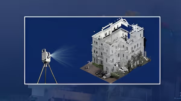
3D Scanning
Using cutting-edge 3D scanning equipment, we capture intricate details of existing structures, ensuring no aspect is overlooked.
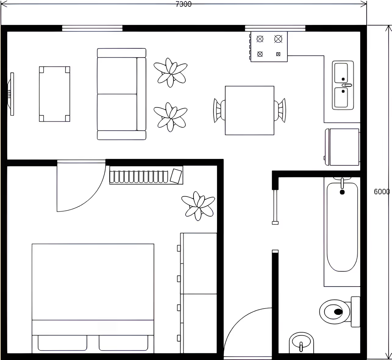
Floor Plans
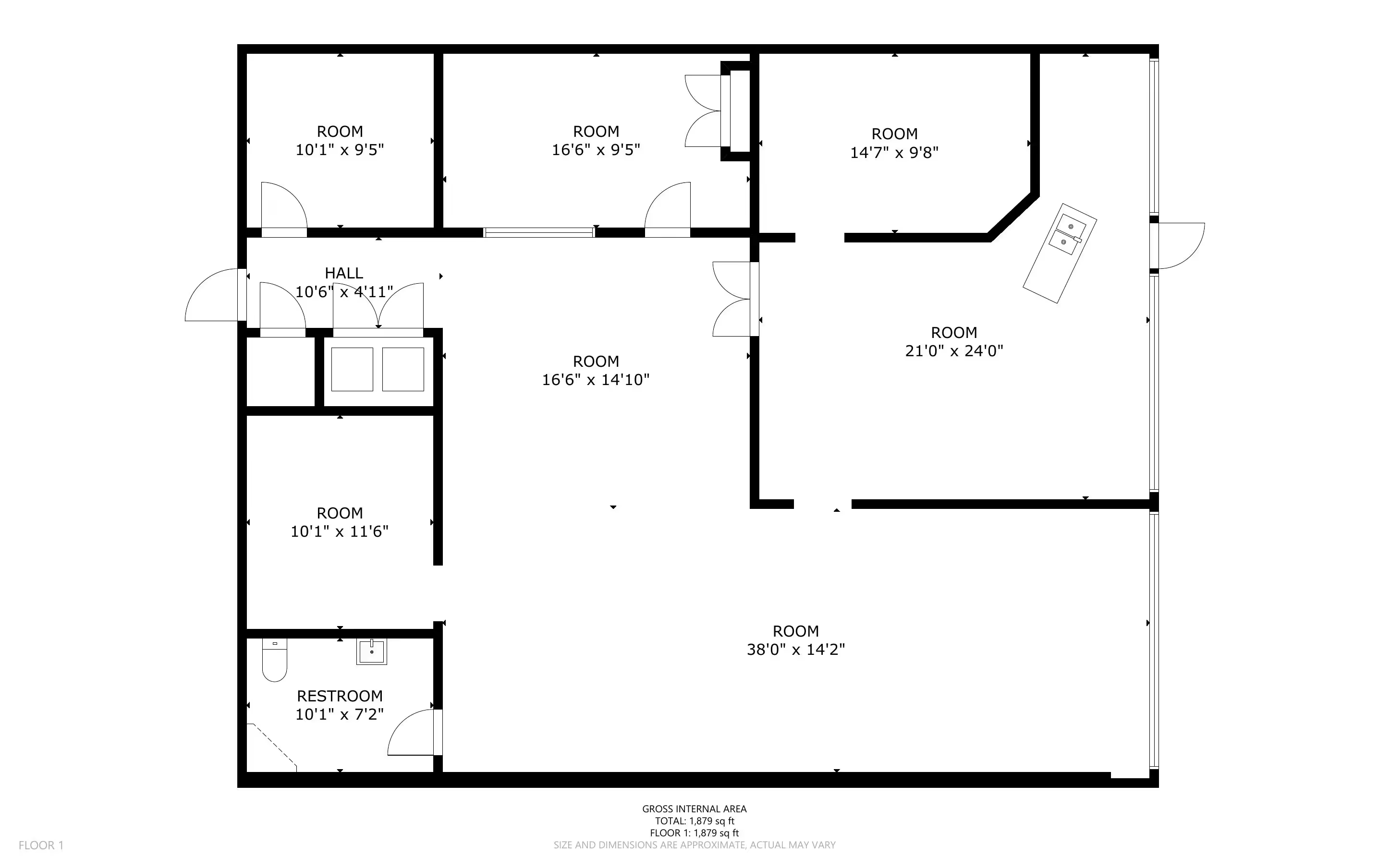
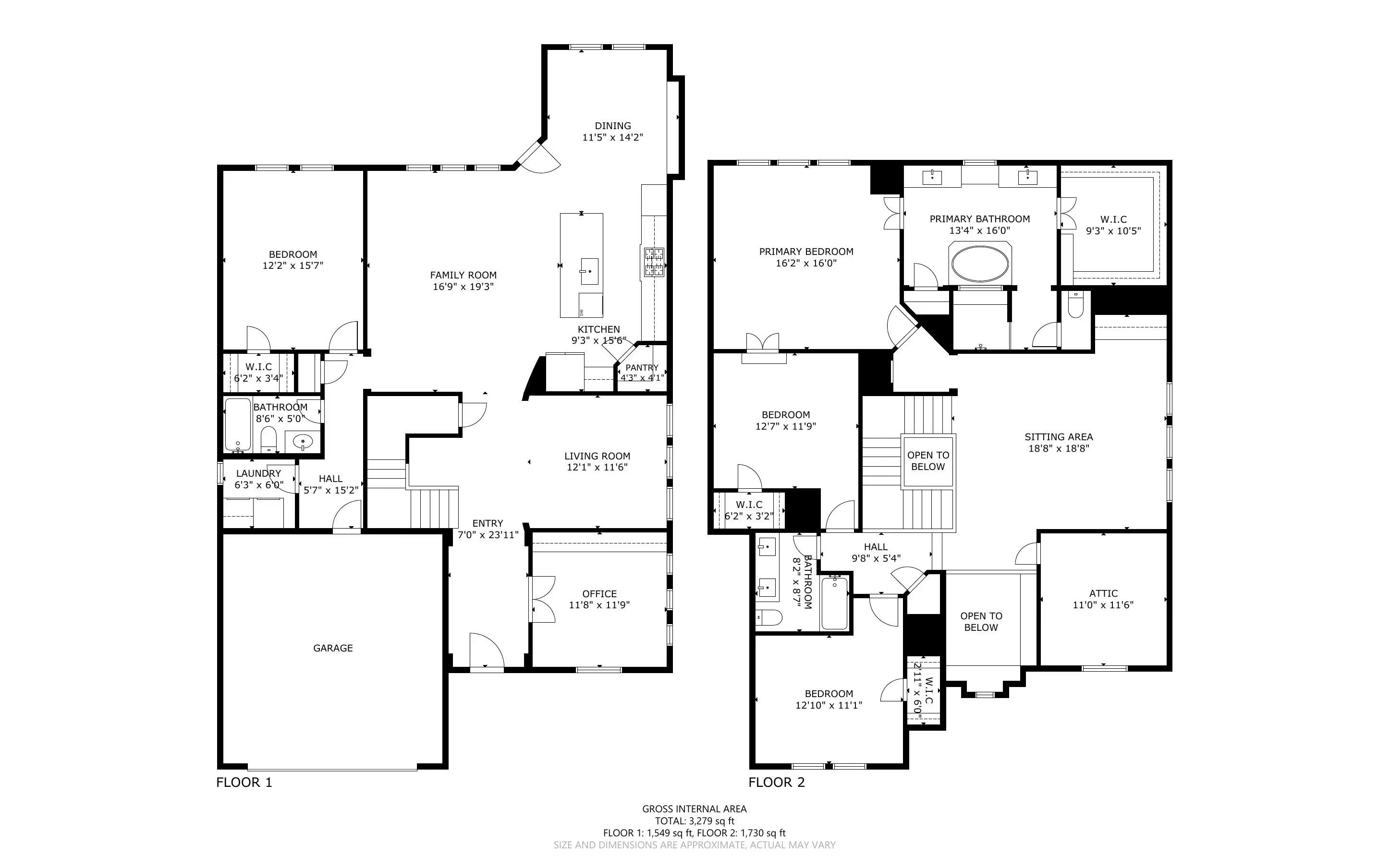
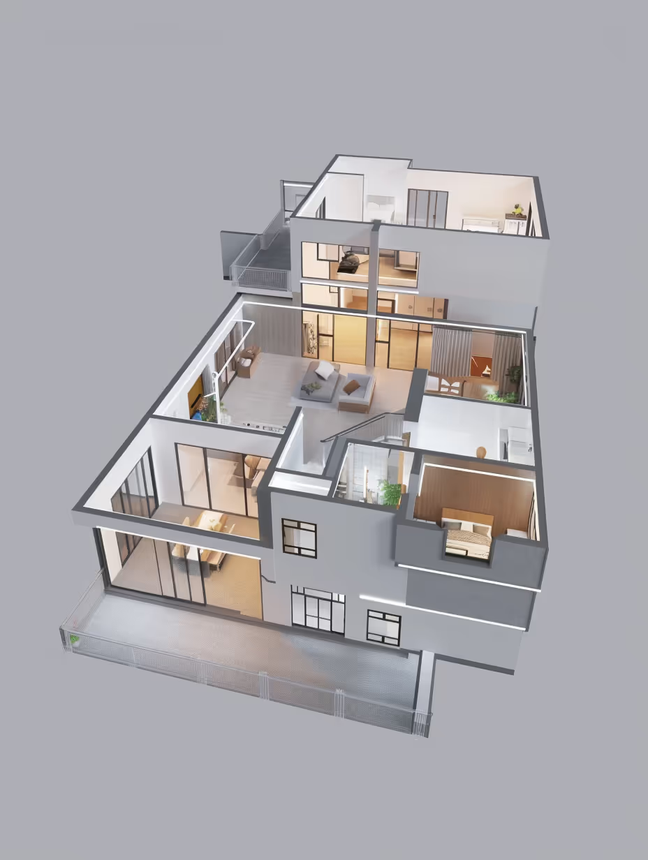
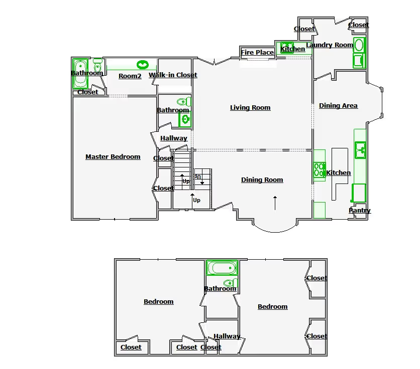
We deliver precise iGUIDE floor plans that ensure high standards of quality and accuracy for any project.
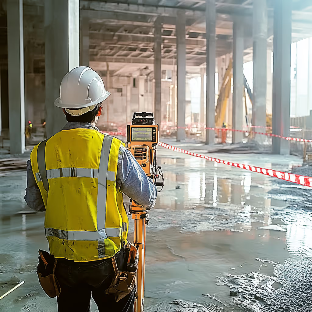
Building Surveys
Our comprehensive as-built surveys verify project compliance and create an accurate record of completed work, essential for future reference.
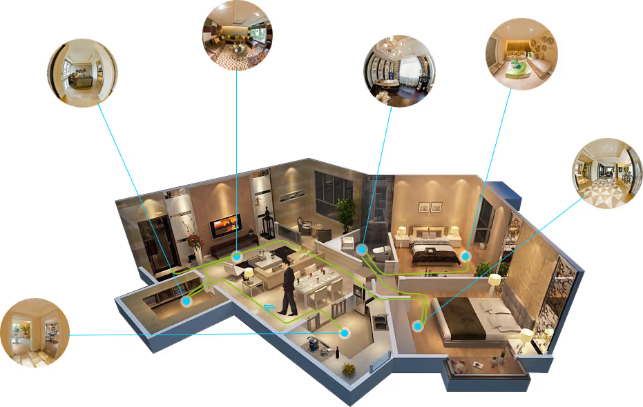
Virtual Tours
Experience immersive virtual tours that provide a detailed and interactive view of your space, enhancing planning and presentation capabilities.
Specialized Services
From emergency restoration to architectural planning
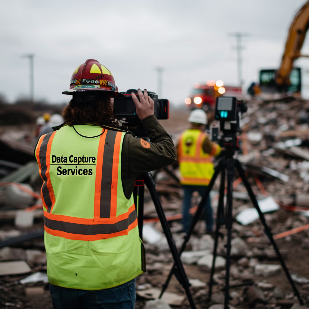
Emergency Restoration Documentation
Swift, precise 3D scans for damage assessment, expediting insurance claims and restoration planning.
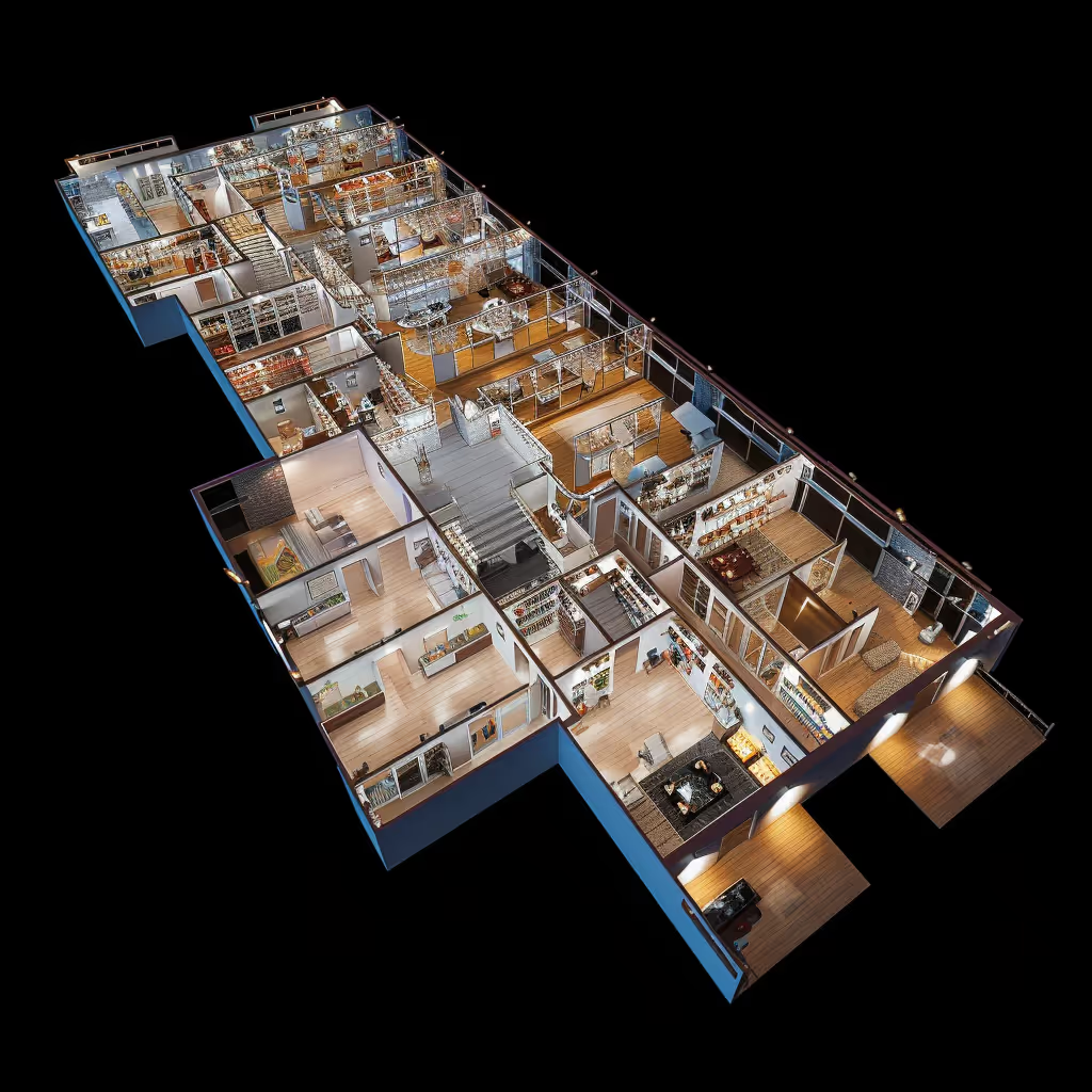
Architectural & Construction Scanning (AEC)
Accurate as-built models and BIM-ready data for informed design, construction, and renovation decisions.
.avif)
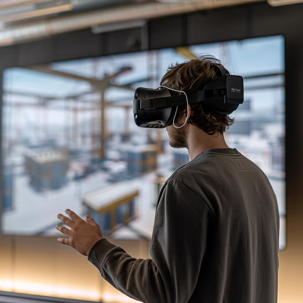
Industrial Training & Safety Simulations
Immersive virtual environments for enhanced safety training and operational efficiency.
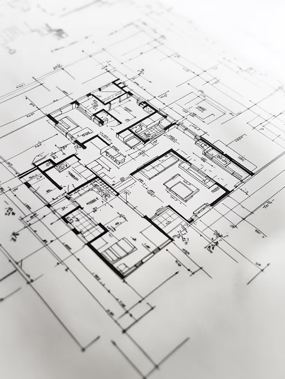
Our Speciality
Harnessing cutting-edge 3D scanning and LiDAR technology, we specialize in delivering diverse dataset plans tailored to our clients' needs. Partnering with a wide range of businesses and organizations, we provide precise existing condition drawings essential for achieving project objectives.
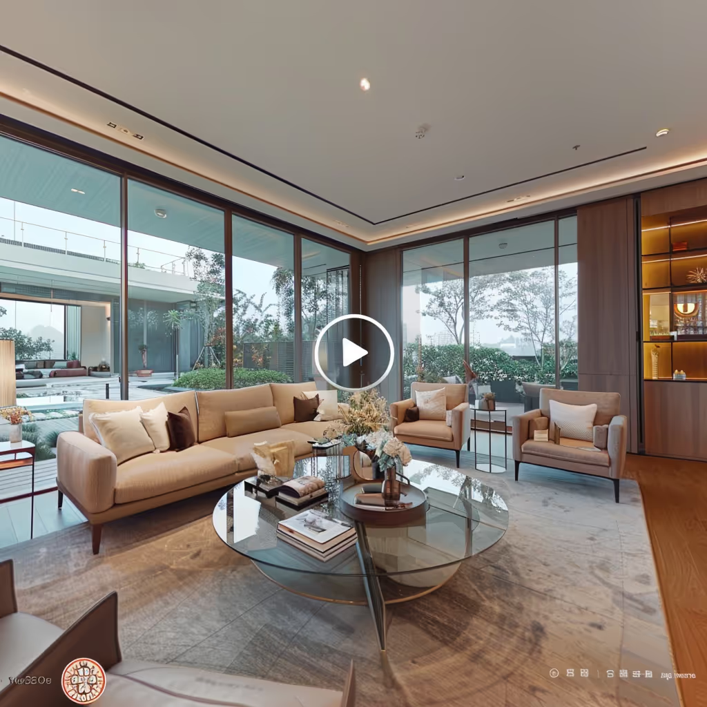
Experience the Power of Virtual Tours
Immerse yourself in one of our recent projects. Our virtual tours provide stakeholders with an interactive, true-to-life representation of spaces, enhancing decision-making and planning processes across industries.
Cutting-Edge Technology at Your Service
We utilize the latest in 3D scanning and LiDAR technology to ensure unparalleled accuracy and efficiency in our data capture services. Our state-of-the-art equipment includes:
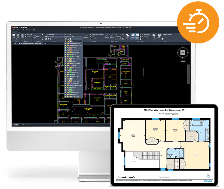
iGUIDE
Delivering accurate floor plans and property measurements
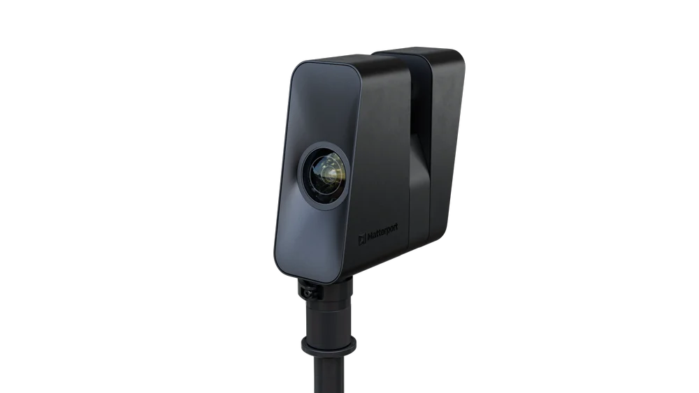
Matterport Pro 3
For immersive 3D walkthroughs
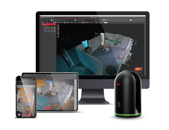
Leica BLK 360
Providing high-precision point cloud data
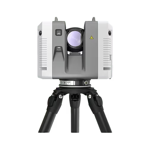
Leica RTC 360
Captures environments in 3D with speed and accuracy
Why Choose Data Capture Service?

State-of-the-art equipment for unparalleled precision

IICRC certified, ensuring industry-standard quality

Tailored approaches to meet your unique project needs
Industries We Serve
.avif)
Architecture, Engineering, and Construction (AEC)
Precise 3D scans for accurate as-builts, BIM modeling, and CAD files to enhance decision-making.
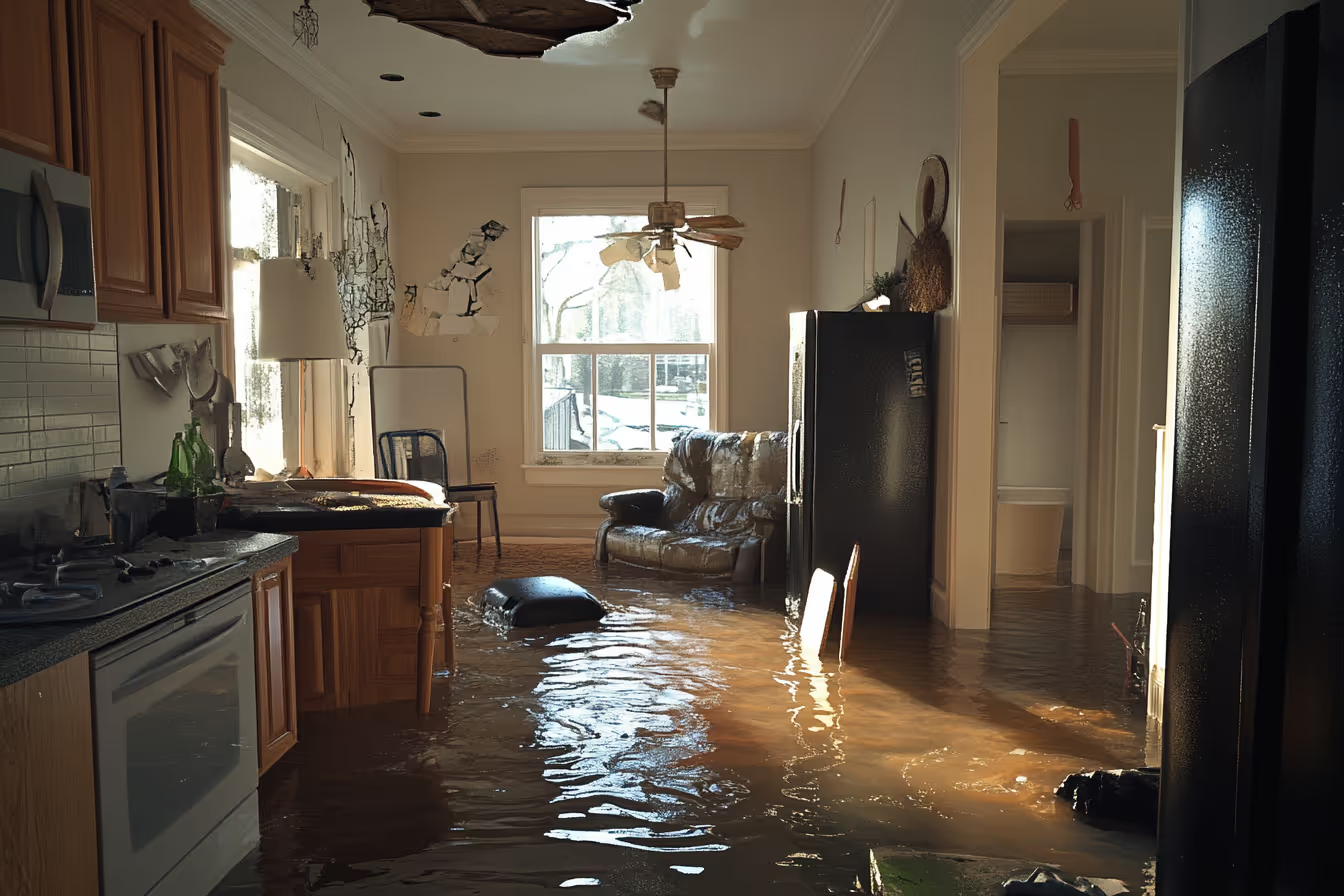
Emergency Services and Disaster Recovery
Swift, detailed damage assessment and documentation to expedite insurance claims and streamline restoration efforts.

Education and Government
Comprehensive facility mapping for space optimization, safety planning, and virtual training simulations.
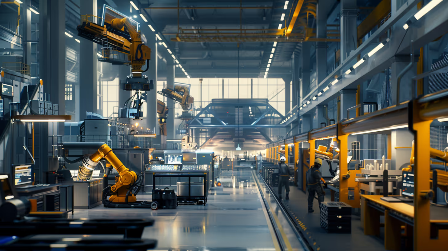
Manufacturing and Industrial
Detailed plant layouts, equipment modeling, and immersive safety training environments for efficiency.
What Our Clients Say
Discover how our precise data capture services have transformed projects and exceeded expectations through our satisfied clients' successes.

William Harris
Property Manager
Our Work in Action
Captured moments of our team at work, demonstrating expertise.
Prefer to Speak Directly?
Experience precision in every project.