
How AEC Firms Use LiDAR for Site Planning
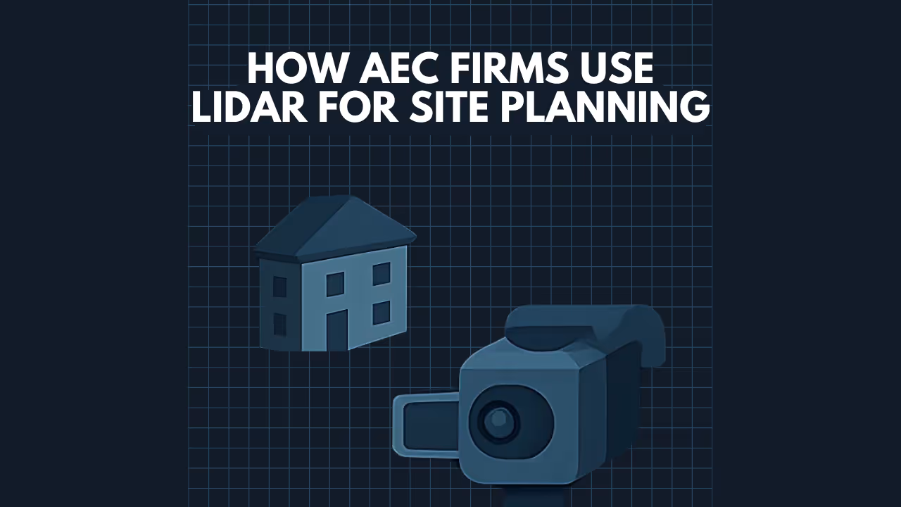
How AEC Firms Use LiDAR for Site Planning: Precision, Efficiency, and Insight
Revolutionizing Site Planning: The Power of LiDAR for AEC Firms
In the fast-paced world of Architecture, Engineering, and Construction (AEC), accurate and comprehensive site planning is the bedrock of any successful project. Traditional surveying methods, while foundational, can be time-consuming, labor-intensive, and may miss critical details. Enter LiDAR (Light Detection and Ranging) – a cutting-edge remote sensing technology that is transforming how AEC firms approach site planning. By capturing highly accurate, dense 3D point cloud data, LiDAR provides unparalleled insights, streamlines workflows, and mitigates risks from the earliest stages of a project.
At Data Capture Service, we harness the power of LiDAR to provide AEC firms with the detailed existing condition data essential for informed decision-making and flawless execution.
Capture current site conditions quickly and accurately with industry-leading LiDAR technology. Our 3D Scanning Services provide high-fidelity point clouds for design, verification, and documentation.
The Challenges of Traditional Site Planning

Before LiDAR, AEC professionals often faced:
- Time-Consuming Surveys: Manual measurements and traditional surveying techniques can take days or even weeks for large or complex sites.
- Incomplete Data: Traditional methods might miss subtle topographical changes, dense vegetation intricacies, or existing structures hidden from plain view.
- Potential for Inaccuracies: Human error in measurement and data transcription can lead to costly mistakes downstream.
- Costly Re-Visits: Discovering missing data often necessitates expensive and time-delaying return trips to the site.
- Safety Concerns: Surveying hazardous terrain or busy sites can pose risks to personnel.
Whether you're planning space utilization, preparing leasing documents, or creating marketing collateral, our Floor Plans Services deliver clean, scalable floor plan layouts derived directly from high-accuracy field data.
How LiDAR Transforms Site Planning for AEC Firms
LiDAR technology addresses these challenges head-on, offering a multitude of benefits specifically tailored for the site planning phase:
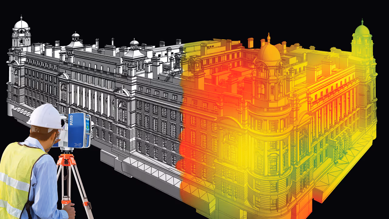
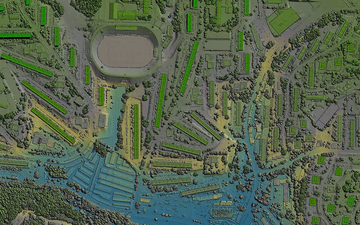
- Unprecedented Accuracy and Detail (Topographic Surveys):LiDAR scanners emit millions of laser pulses to capture the precise XYZ coordinates of countless points on the site's surface and existing features. This creates a dense "point cloud" – a rich, digital 3D representation of the site with sub-centimeter accuracy. This allows for the creation of highly detailed Digital Elevation Models (DEMs), Digital Terrain Models (DTMs), and contour maps crucial for understanding site topography, slope, and drainage patterns.
- Rapid Data Acquisition:LiDAR scanning is significantly faster than traditional methods. Large and complex sites can be scanned in a fraction of the time, accelerating project timelines from the outset. This speed allows for quicker turnaround on initial feasibility studies and design iterations.
- Comprehensive As-Built Conditions of the Site:Beyond bare earth topography, LiDAR captures everything within its line of sight – existing buildings, vegetation, utilities, roadways, and other critical infrastructure. This provides a complete "as-is" model of the site, crucial for understanding constraints and opportunities. Data Capture Service specializes in delivering these precise existing condition drawings.
- Efficient Volume Calculations:Accurate point cloud data makes calculating stockpile volumes, cut-and-fill requirements for earthworks, and excavation quantities far more precise and efficient. This helps in accurate cost estimation and resource planning.
- Enhanced Site Logistics and Safety Planning:A detailed 3D model of the site allows for better planning of site access, laydown areas, equipment placement, and temporary structures. Potential hazards can be identified and mitigated in the virtual model before crews are even on site, enhancing overall safety.
- Early Clash Detection:By integrating LiDAR data of existing conditions with proposed design models, potential clashes between new structures and existing utilities or features can be identified early in the planning phase, preventing costly rework and delays during construction.
- Seamless Integration with Design Software (Scan to BIM & CAD):The point cloud data captured by LiDAR can be directly imported into industry-standard CAD and BIM software (like AutoCAD and Revit). This allows designers and engineers to work with real-world context from day one, creating more accurate and constructible designs. Our Scan to BIM services facilitate this precise conversion.
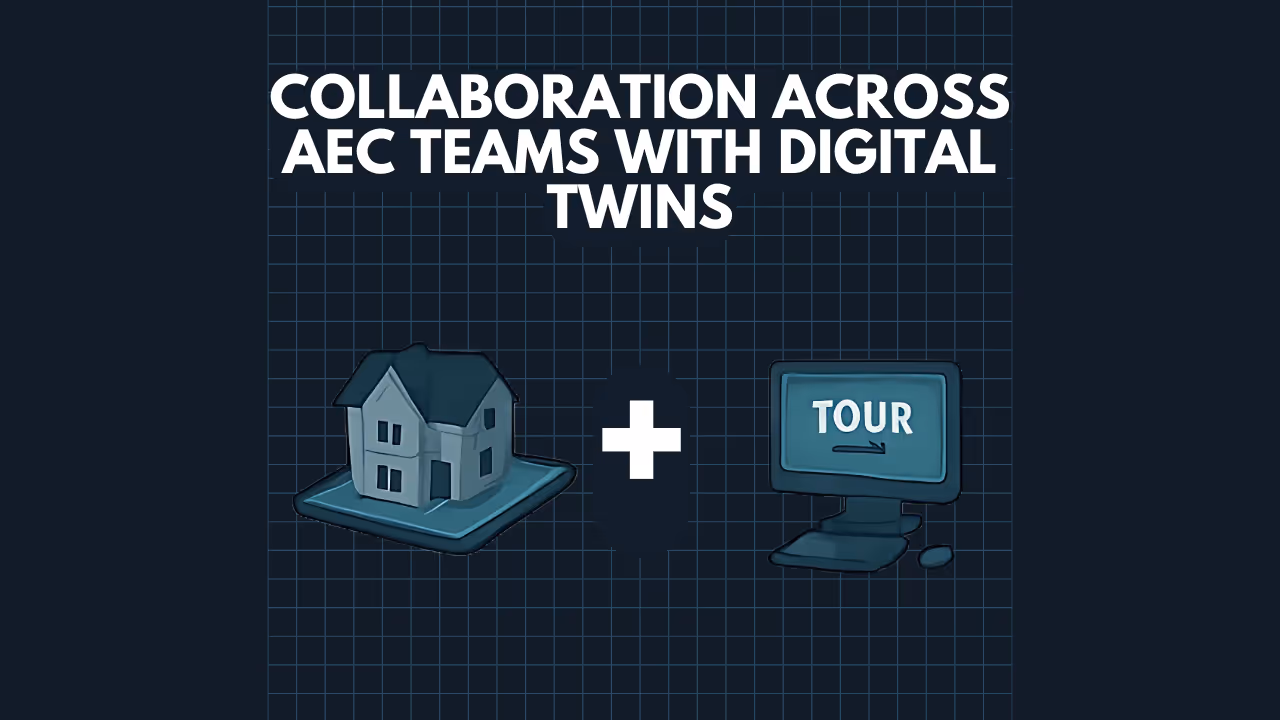
- Reduced Site Visits & Improved Collaboration:With a comprehensive digital twin of the site created through LiDAR, the need for multiple physical site visits is often reduced. This digital asset can be easily shared among stakeholders, improving collaboration between architects, engineers, surveyors, and contractors, regardless of their physical location. Our 3D Walkthroughs and Virtual Tours further enhance this collaborative aspect.
Data Capture Service: Your Partner in LiDAR-Driven Site Planning
At Data Capture Service, we leverage state-of-the-art LiDAR technology, including advanced scanners like the Leica BLK360, to provide AEC firms with the highest quality data for their site planning needs. Our expertise ensures:
- Precision Data: We deliver accurate point clouds and derived products tailored to your project specifications.
- Efficient Turnaround: We understand project timelines and work swiftly to provide you with the data you need, when you need it.
- Versatile Deliverables: From raw point clouds to fully realized 2D CAD drawings (like schematic floor plans and as-built surveys) and 3D BIM models, we provide data in the format that best suits your workflow.
- Experienced Professionals: Our team is skilled in data acquisition and processing, ensuring you get actionable insights from the captured information.
Start your project on solid ground with a comprehensive understanding of the building’s condition. Our Building Surveys Services provide in-depth assessments and precise field measurements to support due diligence, feasibility studies and project planning.
Unlock the Full Potential of Your Site with LiDAR
Stop relying on outdated methods and embrace the future of site planning. LiDAR technology empowers AEC firms to make smarter decisions, reduce errors, save time and money, and ultimately deliver superior projects.
Ready to transform your site planning process with unparalleled accuracy and efficiency? Get In Contact
Maximize the value of your projects with accurate data, intelligent models, and immersive visual experiences. Data Capture Service delivers end-to-end support to help you plan, design, build, and manage with confidence:
Ready to explore in more?
Start here:
Prefer to Speak Directly?
Experience precision in every project.
